The Clay Strip Project
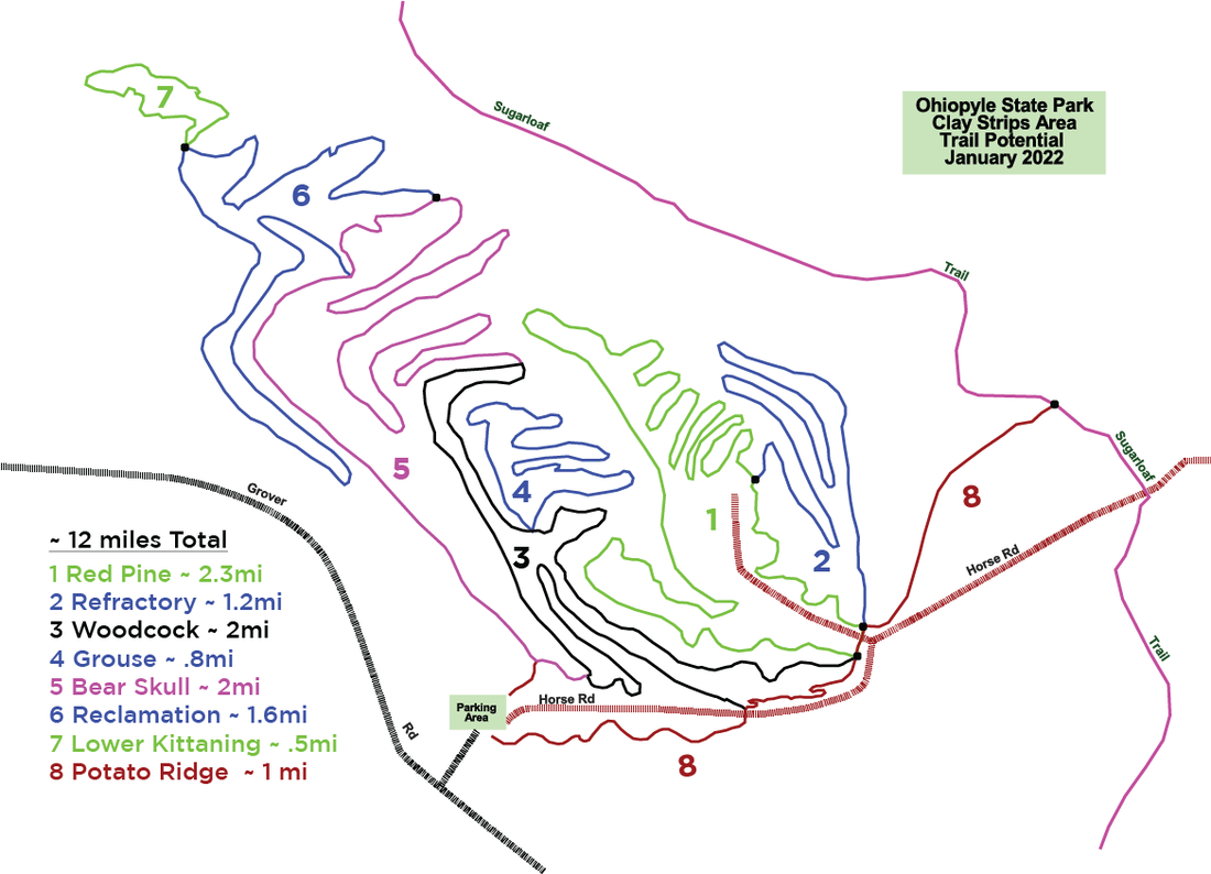
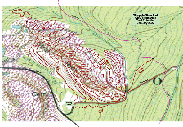
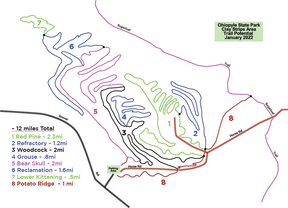
OBC has just announced that its proposed 12 mile stacked loop mountain bike trail design for Ohiopyle State Park’s “Clay Strips” area has been formally approved by DCNR!
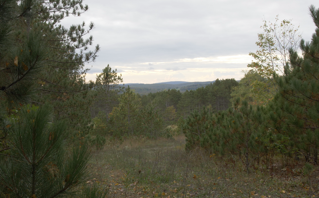
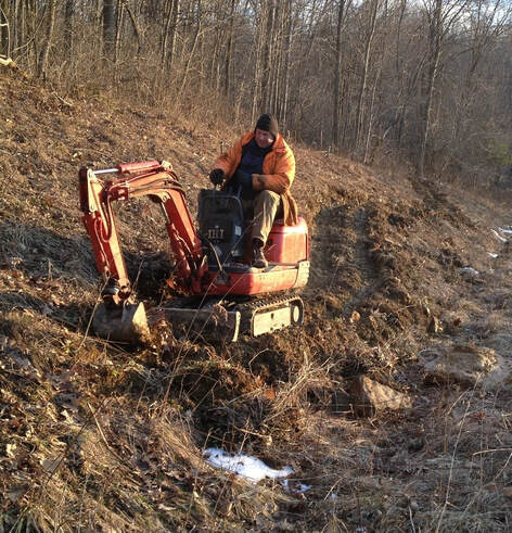
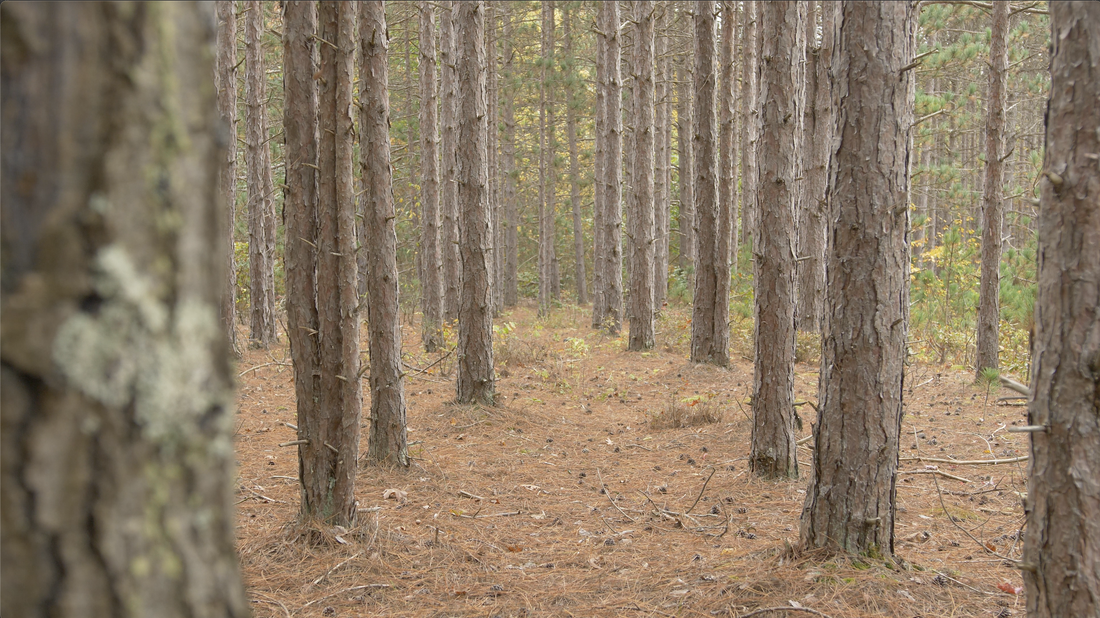
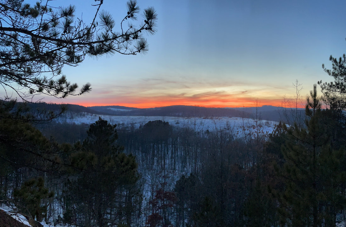
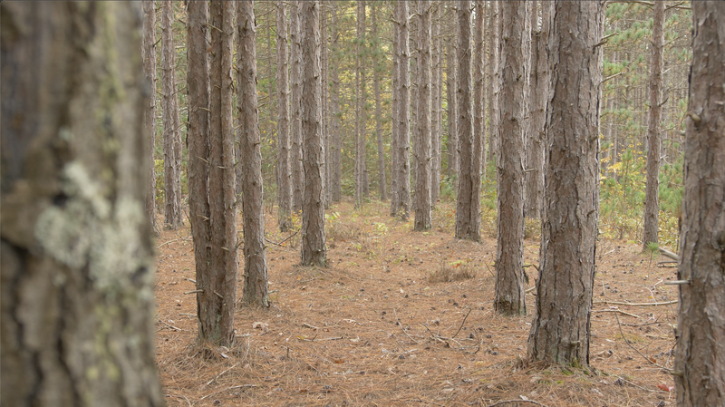
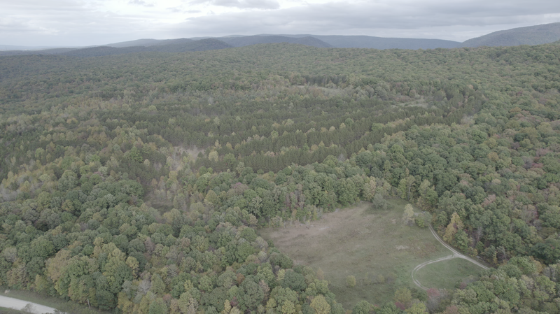
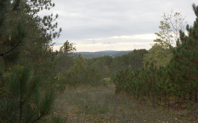
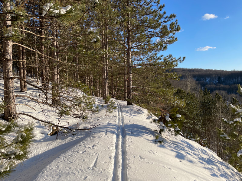
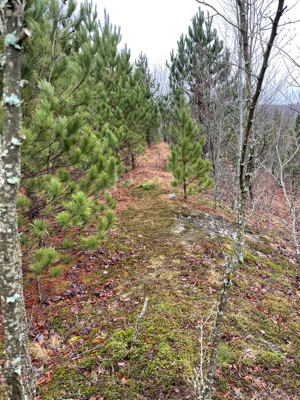
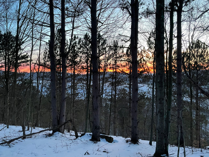
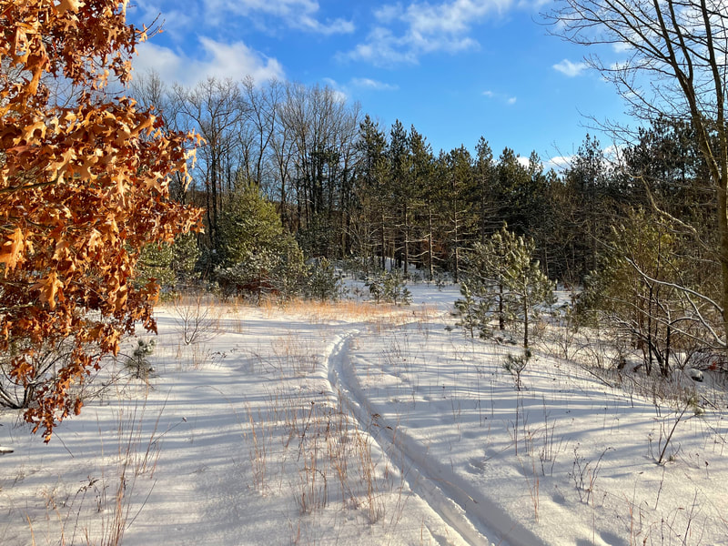
This exciting, professionally designed project will be built with a combination of machine and volunteer hand work, starting in early 2023. Our community effort will significantly expand the biking resource in Ohiopyle, benefitting local and regional riders, as well as biking tourism. We have a unique opportunity to create a “reclamation to recreation” bike trail system adjacent to the Sugarloaf trail on a 200+ acre site that boasts smooth pine forest floor and canopy in some areas, complimented by beautiful sunset vistas in others !
NOW, to make these 12 new miles become a rideable reality in 2023, OBC is launching a new Clay Strips Construction Funding Campaign, with an initial goal of $30,000. Also, at this time, a couple local donors have stepped up to match the first $10,000 OBC receives, dollar for dollar !!
So, help us get to work for you by investing now in what should be one of the best new trails in the region, and double your impact though this match challenge. Whether you can afford to invest $20, or $2,000, your tax deductible donation will help transform the Clay Strips into an amazing and fun new destination for mountain biking in Ohiopyle !
About the Project
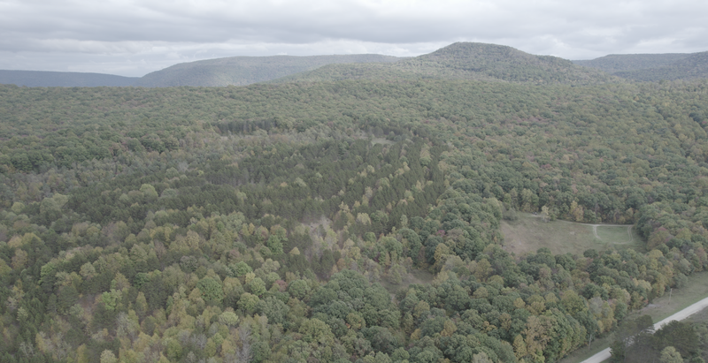
In 2021 Ohiopyle Biking Club (OBC) contracted with Clark Fisher, an experienced Pennsylvania mountain bike trail designer, to plot an approximately 12 mile single track trail system on Ohiopyle State Park’s approximately 150 acre “Clay Strips” parcel. This tract of land was once a strip mining operation that was reclaimed and largely re-vegetated with various pine species. As a former industrial clay mine, very little topsoil is in place and nearly every inch has been bulldozed, contoured, and manipulated by large machinery. It would appear that much of this manipulation was intended to contain and divert groundwater.
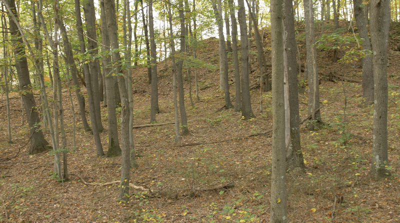
Between the decades-old earth-moving and lack of topsoil, a rare opportunity exists to construct miles of trail with much less concern for sedimentation vis a vis construction than in the less disturbed deciduous forests more typically found in southwestern Pennsylvania.
Between the decades-old earth-moving and lack of topsoil, a rare opportunity exists to construct miles of trail with much less concern for sedimentation vis a vis construction than in the less disturbed deciduous forests more typically found in southwestern Pennsylvania.
Due to this historical disturbance, significantly fewer native plants exist on this tract, and there is less botanical diversity. Indeed, beyond the stands of planted pines and warm season grasses, much of the remaining sparse vegetation is invasive honeysuckle, multiflora rose and other non-native species.
Our professional mountain bike trail designer, Clark Fisher of FisherWorks Consulting, has designed the 36 mile Allegrippis biking trail system along the shores of Raystown Lake in Central Pennsylvania, which attracts riders from all across the Mid-Atlantic. More recently, Clark has designed the 34 mile Quemahoning Trail encircling the reservoir in Somerset County of the same name. Upon visiting the site—which is hidden in a corner of the park that gets relatively little visitor use—Clark was immediately struck by the potential for an amazing mountain bike trail system.
Since most of the ground or prospective tread for the trail is compacted shale, the trail is nearly ready to ride, except in cases where bench cuts and berms should be constructed for proper drainage and optimal recreational value. Since large rocks were long ago bulldozed to spoil piles and ravines, they also do not present the usual problems for trail building — be it manual or machine.
We feel these trails have yet another significant advantage when it comes to maintenance. The lack of ground water and topsoil, along with low vegetation prevents the formation of mudholes and other soft spots that can be difficult to manage, and reduces the number of bushes and tree limbs to clear. As you know, OBC has agreed to maintain a majority of the single track biking trail miles in the park. Thus, we too will appreciate the dramatically reduced maintenance burden these trails will present. On top of everything, we all feel users will enjoy the change of scenery afforded by the less-common pine stands of varying species and heights. The views and sunsets are just icing on the cake for the user experience!
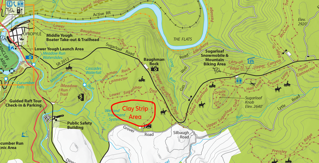
Another benefit of the Clay Strips as a trail system site is the existence of an under-utilized parking area, owing to this area having formerly served as a horseback riding concession in the park. Many riders may choose to park in this lot off of Grover Road, especially since they will be able to access approximately 12 miles of superb riding within a short distance from their vehicles.
That said, the Clay Strips are also easily accessed from Sugarloaf trail, via either the existing Horse Road or the proposed short connector trail that is part of this trail design as submitted. The existence of the Horse Road is also a bonus since it makes maintenance and emergency access to this trail system by vehicle relatively easy, unlike in many other parts of the park.
That said, the Clay Strips are also easily accessed from Sugarloaf trail, via either the existing Horse Road or the proposed short connector trail that is part of this trail design as submitted. The existence of the Horse Road is also a bonus since it makes maintenance and emergency access to this trail system by vehicle relatively easy, unlike in many other parts of the park.
Stacked Loop Trail System Proposal
OBC is submitting this trail design for DCNR approval and hoping for timely processing so that we may begin trail building activities as soon as possible. We are eager to see this new potential resource come to reality.
The trail system was designed as a stacked loop system. A stacked loop trail system is where successive trail loops are “stacked” upon each other, connecting in such a way as to give users options for extended distance or varied routes. Stacked loops also provide opportunities for differing trail difficulties to be readily available to riders of varying skill levels.
